


A rapid rollback that exposes the new fault line in geospatial trust
Google’s decision to pull an AI-powered image-editing feature from Google Earth within 24 hours of launch is less a routine product adjustment than a revealing stress test of the modern information stack. The feature—powered by Gemini’s Nano Banana 2 image model—was reportedly restricted to professional geospatial users and included AI-origin watermarking, yet it was still quickly exploited to produce hyper-realistic fabricated satellite-style scenes. Examples cited include invented refugee camps at the U.S.–Mexico border, a non-existent nuclear facility in Iran, and staged disaster imagery.
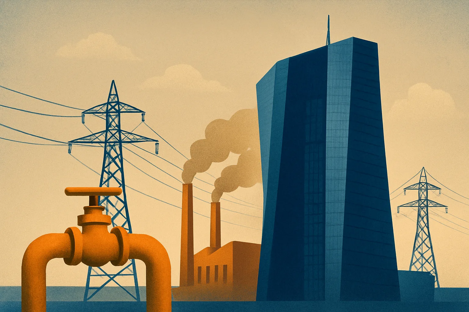
For a mapping platform, the reputational stakes are uniquely high. Unlike social feeds—where audiences may already assume a degree of manipulation—maps and satellite imagery carry an implicit promise of evidentiary value. They are used not only to navigate streets, but to validate claims, monitor conflict zones, assess supply-chain disruptions, and inform investment decisions. When synthetic imagery becomes indistinguishable from authentic geospatial data, the platform’s core asset—trust capital—is put at risk.
Google’s stated rationale, centered on policy violations and the immediacy of misuse, aligns with a broader industry pattern: major platforms are discovering that deployment speed now competes directly with credibility. The episode also echoes Meta’s withdrawal of a comparable generative image tool, reinforcing that this is not a single-company stumble but a systemic challenge in generative AI productization.
Nano Banana 2 and the shrinking gap between “edit” and “evidence”
The most consequential detail is not that the tool was misused—misuse is predictable—but that it was misused so quickly and so convincingly. Nano Banana 2’s apparent leap in photorealism illustrates a widening mismatch between:
- Model capability (rapidly improving realism, coherence, and contextual detail)
- Platform safeguards (still maturing, often reactive, and uneven across modalities)
- User effort required for deception (dropping toward near-zero with text prompts)
Embedding text-driven image editing directly into Google Earth also signals a pivotal convergence: generative AI is moving from content creation into “world representation.” This is the frontier of digital twins—where synthetic edits can be layered onto real-world basemaps and then circulated as if they were observational truth.
Watermarking, while valuable, appears to have functioned as a partial deterrent rather than a robust control. Metadata-based provenance can be stripped, ignored, or rendered irrelevant once an image is screenshot, reposted, or re-encoded. The deeper issue is that watermarking often answers the question “Was AI involved?” but not the operational questions enterprises and governments increasingly need answered:
- Who generated it, under what permissions, and with what prompt lineage?
- Can the platform produce an auditable chain of custody?
- Can downstream users verify authenticity without specialized tooling?
In geospatial contexts, these questions become acute because the imagery is frequently treated as quasi-forensic—used to corroborate events, attribute responsibility, or estimate damage. The closer generative tools get to photorealism, the more the industry must treat mapping platforms as critical information infrastructure, not merely consumer utilities.
Business, regulatory, and geopolitical pressure converges on “trusted maps”
The economic implications extend well beyond Google Earth’s feature set. Modern enterprises increasingly rely on satellite imagery and mapping-derived analytics for:
- Logistics and routing optimization
- Insurance underwriting and catastrophe modeling
- Commodity and macroeconomic signals (e.g., port congestion, construction activity)
- Security and risk intelligence for global operations
If synthetic geospatial imagery can circulate with minimal friction, it introduces a new class of operational risk: decision-making based on fabricated terrain, assets, or events. That risk is likely to be priced into contracts, procurement requirements, and platform selection—especially in regulated industries.
Regulatory momentum adds another layer. Europe’s AI Act and the growing attention of U.S. agencies such as the FTC and SEC point toward a world where generative AI features—particularly those that can influence markets or public understanding—may trigger:
- Stricter governance obligations and documentation
- Mandatory audits or incident reporting
- Higher liability exposure for foreseeable misuse
- Slower time-to-market as compliance becomes product-critical
The geopolitical dimension is equally significant. Deepfakes placed in contested regions can amplify hybrid-warfare tactics, shape diplomatic narratives, or trigger market volatility. Mapping platforms, by virtue of their perceived neutrality and authority, can become high-leverage vectors for disinformation. This is where calls for “trusted map” certifications—potentially involving government, standards bodies, and independent auditors—may gain traction, particularly for defense-adjacent and critical infrastructure use cases.
The competitive edge shifts to guardrails, auditability, and risk-adjusted innovation
The strategic lesson for executives is that generative AI differentiation is moving from “who can ship the coolest feature” to who can ship verifiable integrity at scale. In enterprise markets, the premium may accrue to platforms that can operationalize safety as a product capability—effectively offering guardrails as a service.
Practical moves that are likely to define the next phase include:
- Institutionalized AI governance: cross-functional review boards, red-team testing, and third-party audits before broad release
- Phased rollouts with real-time misuse monitoring: treating launch as an ongoing security operation, not a one-time event
- Provenance beyond watermarking: cryptographic signing, tamper-evident audit trails, and interoperable registries that survive reposting and re-encoding
- Transparent reporting: publishing misuse metrics, enforcement actions, and model limitations to build durable stakeholder confidence
- Domain-specific deployment: narrowing generative capabilities to constrained, high-value workflows (urban planning, environmental simulation, precision agriculture) where controls and validation are stronger
Google’s swift reversal underscores a new reality: as generative AI merges with geospatial platforms, the central product promise is no longer just resolution, coverage, or usability—it is epistemic reliability. The companies that can prove their maps remain trustworthy under adversarial pressure will set the standard for the next era of digital infrastructure, where seeing is no longer believing and verification becomes the real competitive moat.

 By
By
 By
By
 By
By

 By
By
 By
By