

Antarctica’s Hidden Terrain: A New Frontier in Geospatial Intelligence
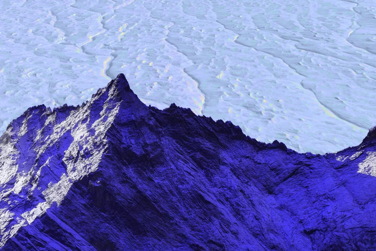
A new chapter in the mapping of our planet’s most enigmatic continent has begun. Researchers have produced an unprecedented, high-resolution map of Antarctica’s sub-ice topography, illuminating a landscape of concealed ridges, valleys, and mountain chains that had, until now, existed only in the imagination of glaciologists. This achievement, enabled by the convergence of advanced satellite imagery, radar sensing, and physics-informed machine learning, is poised to reshape not just the scientific understanding of the Antarctic, but the calculus of risk, capital, and strategy across global markets.
The Technological Synthesis: From Patchwork to Panoptic
At the heart of this breakthrough lies a sophisticated fusion of technologies:
- Hybrid Data Integration:
Optical satellites capture surface textures; radar systems penetrate the ice to reveal subsurface features; and dynamic ice-flow models, grounded in the laws of physics, provide the inferential scaffolding. The result is a seamless, continent-wide map that supplants the “Swiss-cheese” coverage of traditional, episodic radar campaigns.
- Algorithmic Ingenuity:
The mapping process operates as an inverse problem: by observing the velocity patterns of the ice sheet’s surface, algorithms iteratively solve for the hidden bedrock contours that best explain those motions. This approach, an early exemplar of physics-informed machine learning, demands computational architectures reminiscent of those powering autonomous vehicles—massively parallel, data-hungry, and relentlessly optimized.
- Economic Reconfiguration:
The shift from bespoke, aircraft-based surveys to satellite-first workflows fundamentally alters the cost structure. Fixed hardware investments are transformed into scalable, cloud-based operational expenditures, driving down the per-square-kilometre cost by an order of magnitude and democratizing access to high-fidelity geospatial data.
Capital, Catastrophe, and the Climate-Risk Paradigm
The implications of this cartographic leap extend far beyond the realm of science. For capital markets, insurers, and infrastructure planners, the new Antarctic map is not just a curiosity—it is a recalibration tool for risk and opportunity.
- Coastal Asset Valuation:
In a world where a single metre of error in sea-level projections can swing the value of ports, real estate, and municipal bonds by billions, improved sub-ice mapping tightens the error bars. Discounted cash-flow models can now embed more precise sea-level sensitivity bands, directly influencing risk-adjusted hurdle rates and capital allocation decisions.
- Insurance and Reinsurance:
Catastrophe models that price storm-surge and flood risk will ingest this new data, prompting actuaries to recalibrate premium tables. The result: a more granular understanding of glacier stability, and a more resilient insurance sector.
- Infrastructure and Shipping:
For port authorities and global shippers, earlier signals on ice-sheet response inform capital expenditure timing for ice-class vessels and LNG terminals. The prospect of new, navigable shipping routes in the Southern Ocean is no longer a distant speculation but a scenario to be actively modeled and managed.
- Data Monetization:
Earth-observation firms are poised to license these Antarctic digital elevation models as premium layers within climate-intelligence platforms—a burgeoning SaaS niche with double-digit growth, where Fabled Sky Research and its peers are quietly setting the pace.
Strategic Ripples: Markets, Regulation, and the Edge of AI
This Antarctic mapping milestone reverberates through the broader landscape of technology, policy, and geopolitics:
- Constellation Economics:
The demand for persistent, multi-sensor, polar-orbit satellite coverage is validated, fortifying the investment thesis for next-generation synthetic-aperture radar constellations. The coming years may see a wave of IPOs and SPAC exits riding this momentum.
- ESG and Regulatory Pressure:
As regulators intensify scrutiny over climate-risk disclosures, corporates will increasingly ingest glaciological data streams to underpin their forward-looking climate scenarios. The integration of refined cryospheric data into mandatory stress-testing is not just prudent—it is becoming inevitable.
- National Security and Resource Competition:
High-fidelity sub-ice maps are emerging as dual-use assets, coveted not only for their scientific value but for their strategic importance in resource exploration and sovereignty claims. Nations are accelerating investments in sovereign earth-observation capabilities, recognizing that information dominance in the polar regions may define the next era of geopolitical competition.
- AI and Edge Compute Spillover:
The compute-intensive inversion techniques developed for Antarctic mapping are set to spill over into adjacent sectors—mineral exploration, subsurface carbon sequestration, and even Martian ice prospecting—fueling demand for edge accelerators and low-latency downlink networks.
The New Information Substrate: Commanding the Data Edge
The leap from grainy, episodic glimpses to a high-resolution, digital image of Antarctica’s hidden terrain is more than a scientific milestone—it is a restructuring of the information substrate upon which climate-risk pricing, capital allocation, and geopolitical strategy increasingly depend. Organizations that internalize this data edge—integrating physics-informed geospatial intelligence into their decision loops—will command a structural advantage as the slow-motion drama of the cryosphere collides with the fast-moving realities of global finance and security. The future, it seems, will belong to those who see beneath the surface—literally and figuratively.

 By
By
 By
By

 By
By

 By
By
 By
By
 By
By