

A larger sensor grid puts New York’s streets into sharper focus—while raising the bar on trust
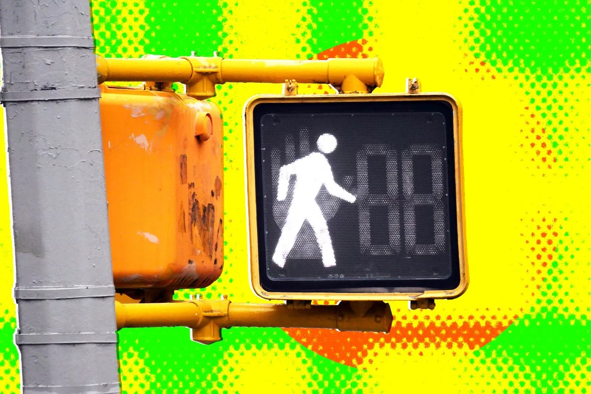
New York City’s Department of Transportation (NYC DOT) is scaling a pilot traffic-data initiative from 20 to 100 roadside machine-learning sensors, a fivefold expansion that materially changes what the city can measure—and how quickly it can act. With broader coverage of vehicles, cyclists, and pedestrians, the program promises a more granular, near-real-time picture of street activity across neighborhoods that often experience radically different mobility patterns block to block.
At the center of the rollout is a deliberate technical choice: real-time, on-device anonymization. The sensors use edge-based image processing to obscure faces and license plates, converting observed movement into color-coded bounding boxes rather than storing identifiable imagery. For city leaders, this is positioned as a privacy-forward approach that still delivers the operational intelligence needed for signal timing, street redesign, and safety interventions. For advocacy groups, the expansion intensifies a parallel demand: public access to the underlying anonymized data—not just curated summaries—so independent researchers and watchdogs can validate conclusions and detect bias or misuse.
This is the defining tension of modern urban technology: the more precisely a city can “see” mobility, the more it must prove it is not building infrastructure for surveillance by default.
Edge AI as a privacy architecture—and a new municipal standard in the making
From a technology standpoint, NYC DOT’s approach reflects a broader shift toward privacy-by-design in machine vision. By anonymizing at the sensor level, the system reduces the likelihood that personally identifiable information is transmitted or stored, narrowing the “blast radius” of breaches and limiting secondary uses of raw video.
Key technical implications stand out:
- Edge processing reduces risk and latency: Local anonymization can minimize network bandwidth, accelerate analytics, and reduce dependence on centralized storage—advantages that matter at city scale.
- Scale changes the analytical unit: Moving from 20 to 100 nodes increases spatial resolution enough to support sub-neighborhood comparisons, time-of-day patterning, and more sensitive before/after evaluations of interventions like bike lanes or pedestrianization.
- Data format decisions become policy decisions: As stakeholders push for open access, choices around APIs, schemas, retention policies, and anonymization algorithms will effectively define what “transparency” means in practice.
The program also underscores a subtle but important reality: anonymization is not a single switch. It is a continuum of techniques and trade-offs. Bounding boxes and redaction can meaningfully reduce identifiability, but public confidence often hinges on whether the city will publish:
- the anonymization methodology (what is removed, when, and how),
- the auditability of the system (independent verification),
- and the limits (what the sensors cannot do, and what they are prohibited from doing).
In that sense, the technology is only half the story. The other half is governance—because public acceptance of edge AI depends on whether the city can demonstrate that privacy protections are durable, enforceable, and not easily weakened later.
The business case: better capital allocation, stronger “complete streets,” and new platform dynamics
High-fidelity mobility data has a straightforward economic promise: spend infrastructure dollars with greater precision. When cities rely on periodic manual counts or sparse sampling, they risk overbuilding in one corridor while underinvesting in another. A denser sensor network can improve cost-benefit analysis for:
- signal retiming and corridor optimization,
- street redesign and safety treatments,
- bike-lane planning and curb management,
- and construction impact monitoring.
For local commerce, the implications can be equally material. Better measurement of pedestrian and cycling flows supports “complete streets” strategies that many cities associate with increased foot traffic and more resilient retail corridors. For climate policy, the value is strategic: shifting short trips from cars to active modes aligns with emissions targets, but doing so requires credible measurement of mode share changes over time.
The expansion also introduces platform economics into municipal operations. A citywide sensor layer can become a foundational dataset for a broader ecosystem—if access is structured well. That is where public-private dynamics sharpen:
- Open standards can catalyze innovation: interoperable formats and documented APIs can enable universities, startups, and civic technologists to build tools that extend the value of the network.
- Proprietary systems can create lock-in: closed data models and vendor-controlled pipelines can limit competition, raise switching costs, and complicate long-term accountability.
- Data ownership and monetization questions intensify: if third parties derive commercial value—whether through analytics products or mobility services—public agencies will face pressure to ensure taxpayers see a return in the form of better services, not just better dashboards.
Where this leads: mobility platforms, AV training value, and resilience planning—if governance keeps pace
The most consequential downstream effects may be the least obvious. A citywide stream of anonymized movement patterns can become a backbone for Mobility-as-a-Service (MaaS) integrations, improving real-time multimodal planning that links transit, bike-share, and ride-hail. It can also create a valuable dataset for advanced driver-assistance systems (ADAS) and autonomous vehicle development—particularly in dense environments where pedestrian and cyclist behavior is complex and safety-critical.
Beyond transportation, the same sensor fabric can support digital-twin simulations for extreme weather, evacuations, or public-health interventions, enabling scenario planning grounded in observed movement rather than assumptions.
Yet the program’s long-term legitimacy will likely hinge on whether NYC DOT treats transparency as an operating principle rather than a communications posture. The most credible path forward typically includes:
- independent privacy and security audits,
- publication of retention and access policies,
- clear rules on secondary use and prohibition of function creep,
- and public-facing dashboards that are complemented—not substituted—by meaningful access to anonymized datasets for qualified scrutiny.
New York’s expansion is not merely a procurement story or a smart-city milestone. It is a test of whether a major city can scale machine vision in public space while keeping democratic accountability ahead of technical capability—proving that better measurement of urban life does not require diminishing the public’s control over how that measurement is used.

 By
By
 By
By
 By
By
 By
By


 By
By
 By
By