

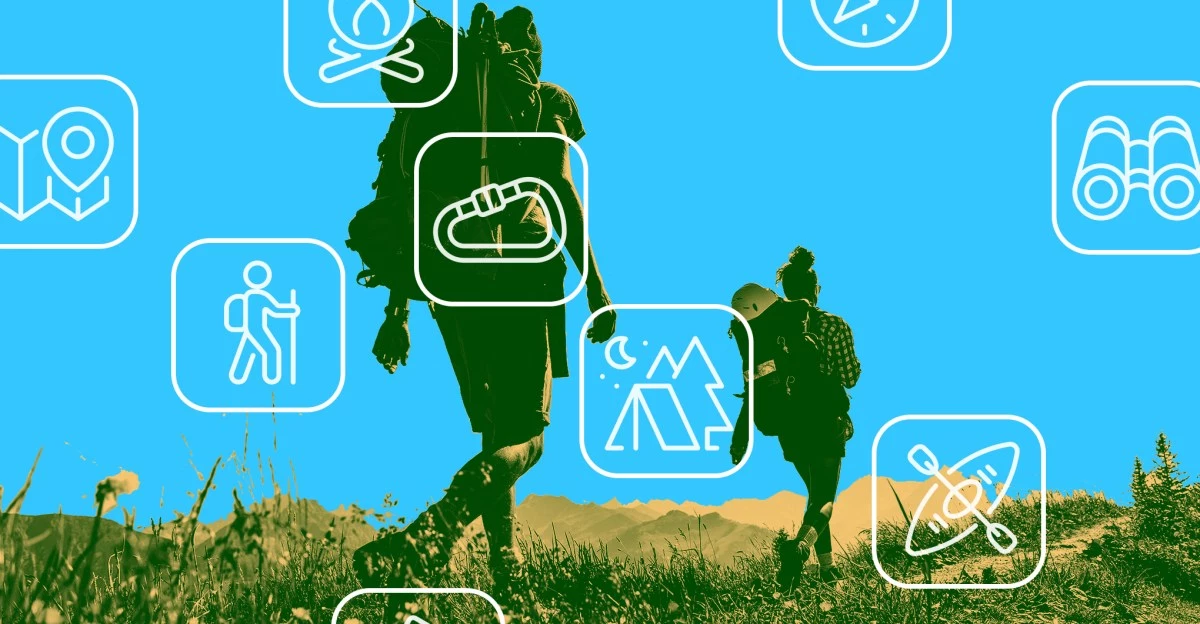
From Paper Maps to Data-Augmented Trails: The New Cartography of Outdoor Adventure
The quiet revolution underway in outdoor navigation is not simply a matter of swapping paper for pixels. It is a transformation in how hikers, backpackers, and explorers experience—and even co-create—the landscapes they traverse. The migration from traditional maps to digital platforms like FarOut signals a broader shift: the emergence of the trail as a living, data-augmented network, shaped as much by community input as by topography.
The Rise of Community-Driven Navigation
At the heart of this evolution is a profound reimagining of what a map can be. FarOut’s core innovation is not its cartographic accuracy, but its continuous stream of real-time, user-generated micro-data. Each hiker becomes a node in a distributed sensor network, reporting on water sources, shelter conditions, and hazards. This dynamic metadata, reminiscent of Waze’s crowdsourced traffic intelligence, transforms navigation from a solitary act into a communal enterprise.
- Real-time updates: Trail conditions, water availability, and obstacles are relayed instantly, reducing uncertainty and risk.
- Peer-to-peer trust: The authority of the map shifts from static institutions to the lived experience of fellow hikers.
- Metadata over maps: The value proposition migrates from the base layer of geography to the overlay of collective insight.
This transition is not without its complexities. The challenge of designing interfaces that intuitively serve both northbound and southbound hikers—each with unique perspectives—highlights the need for context-aware, adaptive user experiences. As AI and machine learning mature, expect navigation platforms to anticipate direction, pace, and even personal thresholds for elevation or fatigue, making the digital guide ever more bespoke.
Connectivity as the New Trail Divide
Yet, the promise of data-augmented adventure is unevenly distributed. The dichotomy between hyper-connected trails like the Appalachian and the remote, signal-starved wilds of the Ventana Wilderness exposes a new kind of access gap. On popular routes, FarOut and its ilk flourish, layering social intelligence atop robust network infrastructure. In the backcountry, however, hikers revert to pre-digital methods or must rely on hybrid solutions.
- Satellite convergence: Devices like Apple’s SOS and Garmin inReach are bridging this divide, integrating satellite messaging with smartphone navigation.
- Hybrid architectures: The future points toward seamless handoffs between terrestrial and orbital networks, ensuring that even the most isolated adventurer remains tethered to the digital commons—when they choose.
This connectivity arms race is not merely technical; it is reshaping the expectations and behaviors of outdoor enthusiasts. The very notion of “wilderness” is being renegotiated, as the boundaries between solitude and sociality, between risk and reassurance, are redrawn by the invisible hand of the network.
Monetization, Marketplaces, and the Ethics of Exposure
Beneath the surface, the business models powering this transformation are in flux. Freemium access to basic maps is increasingly a gateway to richer, higher-margin offerings: offline topo packs, hyperlocal weather forecasts, or even on-trail gear rentals. The next logical step is the emergence of integrated marketplaces, where trail angels, shuttle drivers, and resupply vendors transact directly within the navigation ecosystem.
- Data as currency: Aggregated heatmaps of trail use become valuable assets for land managers, brands, and insurers, opening new B2G and B2B revenue streams.
- Marketplace dynamics: Verified service providers can be embedded within the app, streamlining logistics for hikers and creating new micro-economies.
- Sustainability imperatives: However, the specter of overuse and ecological degradation looms large. Platforms face mounting pressure to embed features that monitor and manage digital carrying capacity, aligning profit motives with conservation ethics.
The regulatory landscape is evolving in tandem. As reliance on digital aids grows, agencies like the U.S. National Park Service are scrutinizing issues of liability, data privacy, and the broader societal implications of tech-mediated recreation.
The Broader Canvas: Experience Economy and Beyond
Outdoor navigation is increasingly a bellwether for broader trends in the experience economy. The integration of navigation, health tracking, and real-time environmental alerts parallels the rise of connected fitness platforms, while also offering a hedge against the cyclical nature of traditional outdoor gear sales. As hybrid work untethers more people from their desks, the demand for sophisticated planning tools—integrating PTO, carbon tracking, and wellness analytics—expands the total addressable market.
- Climate adaptation: The infrastructure built for recreation—real-time fire, flood, and heat alerts—has applications far beyond leisure, informing supply-chain logistics and insurance risk models.
- Wearable convergence: The next frontier may well be contextual navigation layered into see-through glasses, blurring the line between exploration and augmentation.
As navigation apps evolve from passive guides to active orchestration layers, the stakeholders that deftly blend community data, connectivity, and sustainability will define the future of outdoor technology. The trail ahead is both mapped and unmapped, shaped by the footsteps—and the data—of those bold enough to walk it.
 By
By

 By
By By
By

 By
By
 By
By
 By
By
 By
By